Loading page…

Drive your site. Get your data.
Mount SDX-Compact OnTop on your side-by-side, drive the project and capture a full 360° view of the terrain. Review the data in SDX-Cloud, without waiting for the next survey crew or drone flight.
- Fresh terrain data every 10 minutes, no survey crew
- No drone flights, no waiting for the weather
- Also fits wheel loaders, dozers, and other earthmoving machines
Prefer to talk? Call +43 664 11 04 345
Does any of this sound familiar?

Surveying team can't keep up
Travel time between construction sites and priorities are the bottleneck across multiple running projects.

Drone data delayed by weather, processing and restrictions
Data arrives days later, the weather is not good enough for a flight or the airspace is restricted.

Estimates instead of numbers
Without current site data, quantities for billing and planning often end up estimated.
“It’s amazing because by the time we shut the machine down and we get back to the office the data is already there. You open up your computer and it’s all there.”
 Seth PenlandSenior Project Manager, F.M. Kitchens
SDX-Compact makes real-time site data available in three steps
SDX-Compact mounts on your side-by-side and turns every pass into a survey. LiDAR scanning and GNSS positioning capture the surface while the machine works, and the data reaches the office in near real-time.
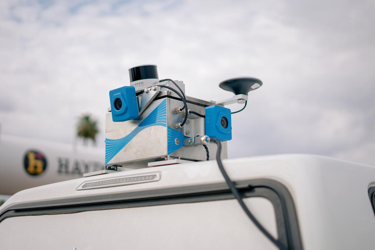
Step 1: Mount
SDX-Compact installs on your side-by-side but also any other types of earthmoving machines. No downtime, no operator interaction, no work interruption.
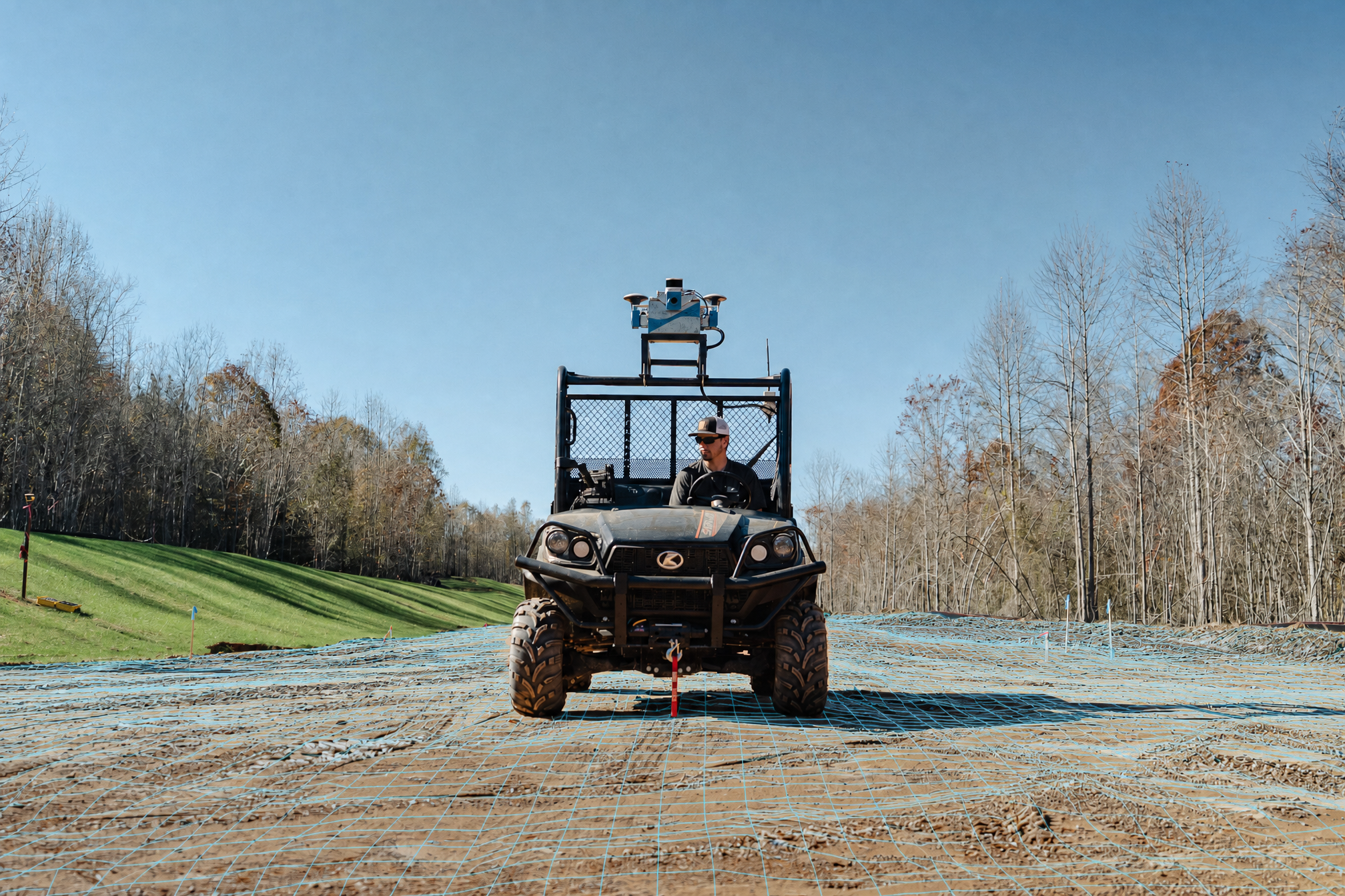
Step 2: Capture
THe SDX-Compact automatically captures high-accuracy terrain data using LiDAR scanning and cameras. New data collected gets uploaded and processed up to every 10 minutes.
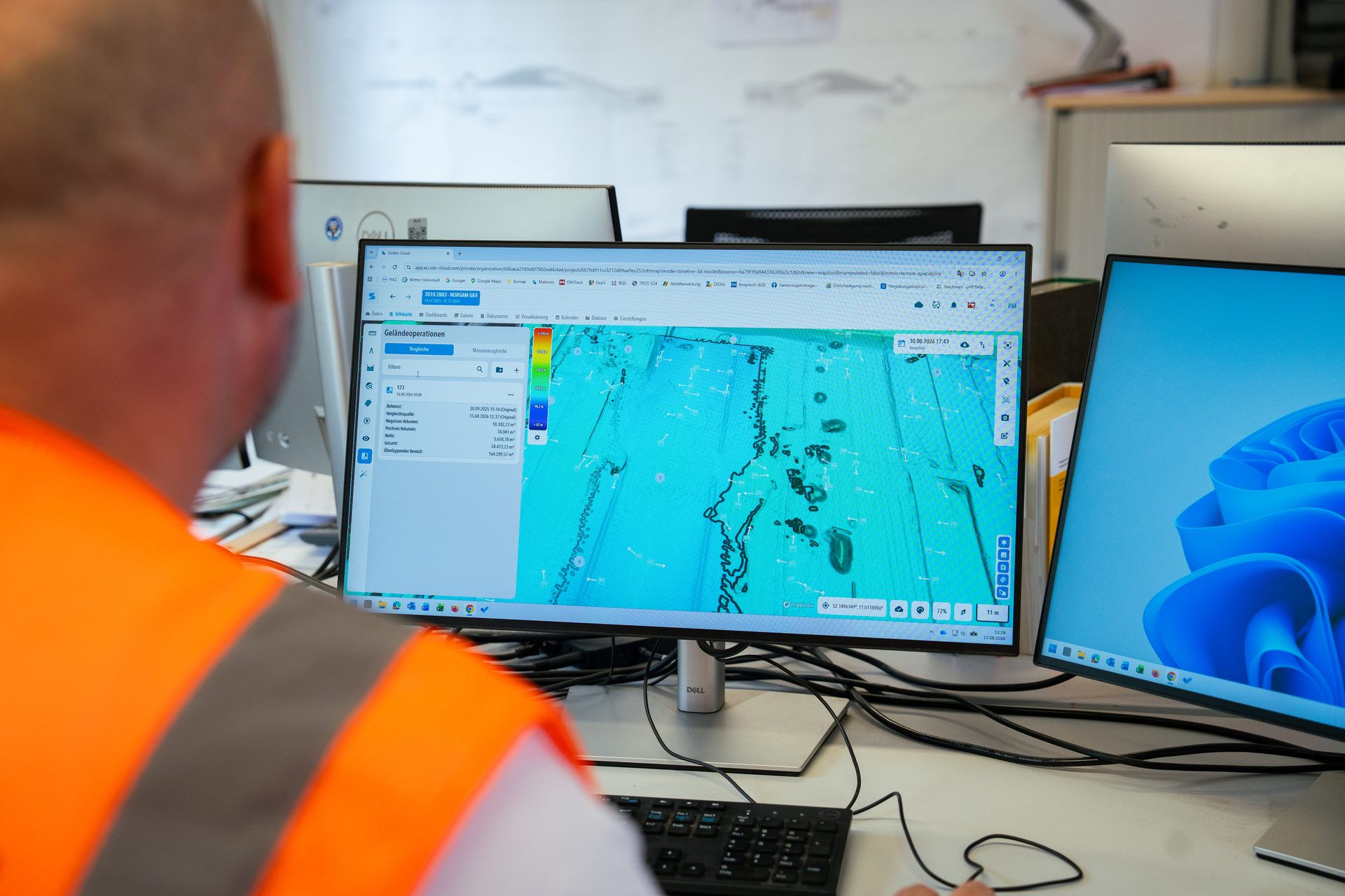
Step 3: Receive
Access volume calculations, progress tracking, cut & fill analyses, and site balancing from your office, on any device.
Scan whenever the site changes
After clearing
Capture a baseline before the dirt starts moving.
After top soil removal
Document what's left and what was taken off.
During grading
Check elevations before the next step.
Balance cut and fill
See where material needs to go.
Progress billing
Back your invoices with measured volume changes.
Before you bid
Drive the site and check existing ground before you price the job.
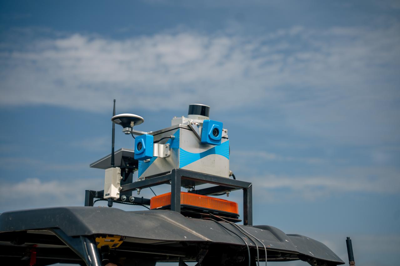
- Earthmoving
- Landfills
- Road construction
- Aggregates
- Quarries
SDX-Compact
Turns the machines already on site into surveying units that scan while they work.
Details
- Field of view: full 360°
- Scanning range: up to 42 m (137 ft)
- Accuracy: 1–2 cm (0.4–0.8 in) horizontal and 2–3 cm (0.8–1.2 in) vertical
- Mounting: roof mounted with adhesive base plates
Join the growing number of success stories
Customers explain the problems they had, why they chose SDX-Compact and SDX-Cloud, and what changed on their sites.
Project decisions shouldn't depend on last week's survey.
SDX-Compact is built for mid-to-large earthmoving, civil construction, and aggregates companies that operate multiple machines across multiple sites and require frequent terrain updates. If your surveying team is stretched thin, your volume data is often outdated, or you need daily progress visibility without disrupting production, this is for you.